4UMaps


Vector City Maps, outdoor, hike and mountain bike maps

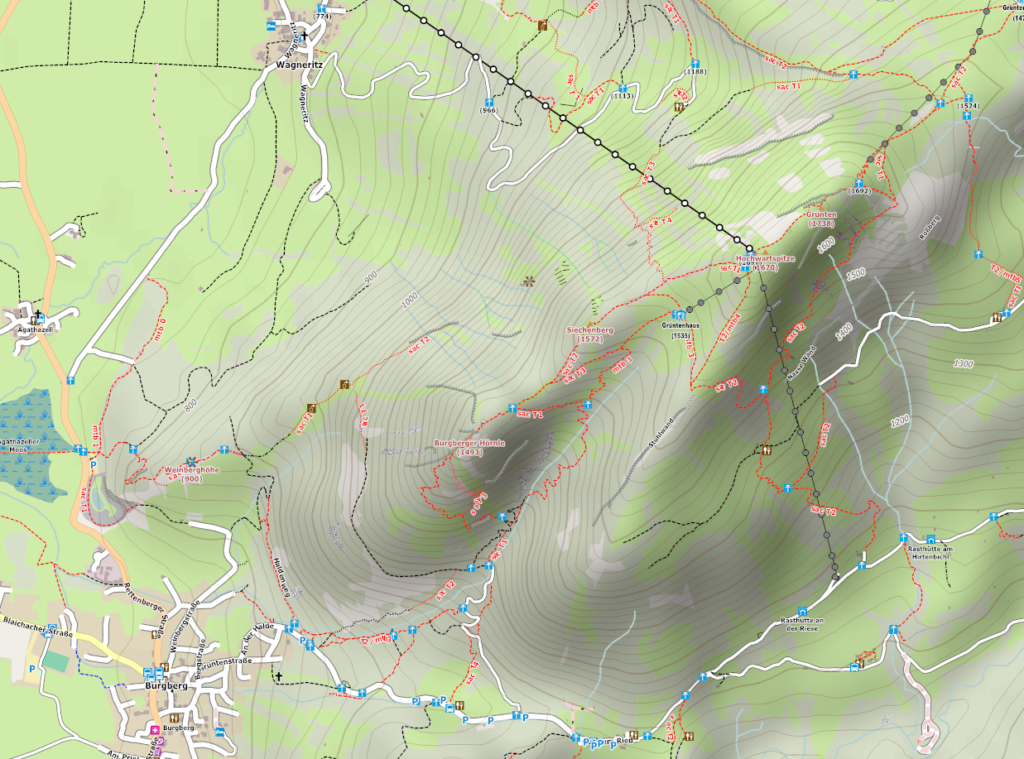
4UMaps are vector city maps, topographic outdoor, hike and mountain bike maps based on OpenStreetmap data. The map contains everything you need for any kind of back country activity like hiking, mountain biking, cycling, climbing etc. 4UMaps has elevation lines, hill shading, peak height and name, streets, ways, tracks and trails, as well as springs, supermarkets, restaurants, hotels, shelters etc.


Topographic Online Map

Online Outdoor hike mountain bike map


4UMaps are available for

Europe

North Africa

South Canada

USA

Far East: India, China, Japan, Korea....

Australia, New Zealand


The render style is optimized for a high contrast level to be used for outdoor navigation with outdoor devices like Smartphones, Garmins etc.

4UMaps are device independent, and can be used on any device that can display raster maps.


If you visit 4UMaps the first time, probably read this:

How to use 4UMaps


Here you can download free off-line topographic 4UMaps:

Download free topographic maps


You want to use your smart-phone for on-road and off-road navigation:

Smartphone Outdoor GPS Navigation


If you want to use 4UMaps to create and plan your own back country activities:

Free outdoor trip planning software


If you want to help to improve the map and you want to add missing ways/features in your area, join the OpenStreetMap project.